

Airports operate within strict regulatory frameworks that require infrastructure, airspace, and operational surfaces to meet defined national and international standards. Compliance assessments are required on defined timelines, and as those deadlines approach, airport teams often need reliable data quickly to complete regulatory submissions. Traditional survey approaches can be time‑consuming and disruptive within active airfield environments. RPM’s patent-pending Mobile Mapping captures accurate spatial data faster and safer, with no disruption to airport operations.
RPM supports airport operators, consultants, and engineering teams by delivering accurate, compliance-ready geospatial data aligned with the requirements of Transport Canada, NAV Canada, and ICAO standards. For airspace protection and Obstacle Limitation Surface (OLS) assessments, RPM uses aerial LiDAR surveys to capture large areas surrounding an airport and generate precise terrain and obstacle models required for protected airspace analysis.
Together, these technologies provide airport teams with a detailed and defensible dataset that supports regulatory submissions, infrastructure upgrades, and ongoing compliance monitoring.
How RPM Supports Airport Compliance
- Obstacle Limitation Surface (OLS) assessments and protected airspace / obstacle mapping using aerial LiDAR
- Verification of runway and taxiway grading and surface conditions
- Accurate positioning of runway lighting, signage, and navigational aids using mobile mapping LiDAR
- Pavement condition indexing and drainage context mapping
- Survey support for NAV Canada, Transport Canada, and ICAO compliance deliverables
- Data deliverables compatible with CAD, GIS, and BIM workflows
Reliable Data for Compliance and Planning
By combining aerial LiDAR for airspace and terrain analysis with mobile mapping for detailed airfield infrastructure surveys, RPM provides the accurate spatial data needed to verify compliance and support airport planning while minimizing disruption to daily operations.
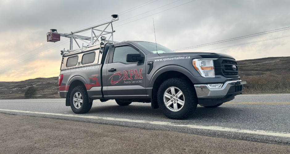
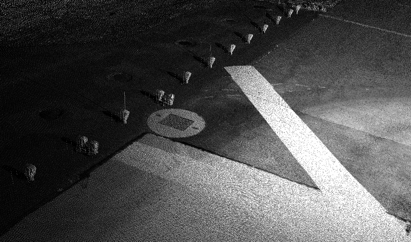
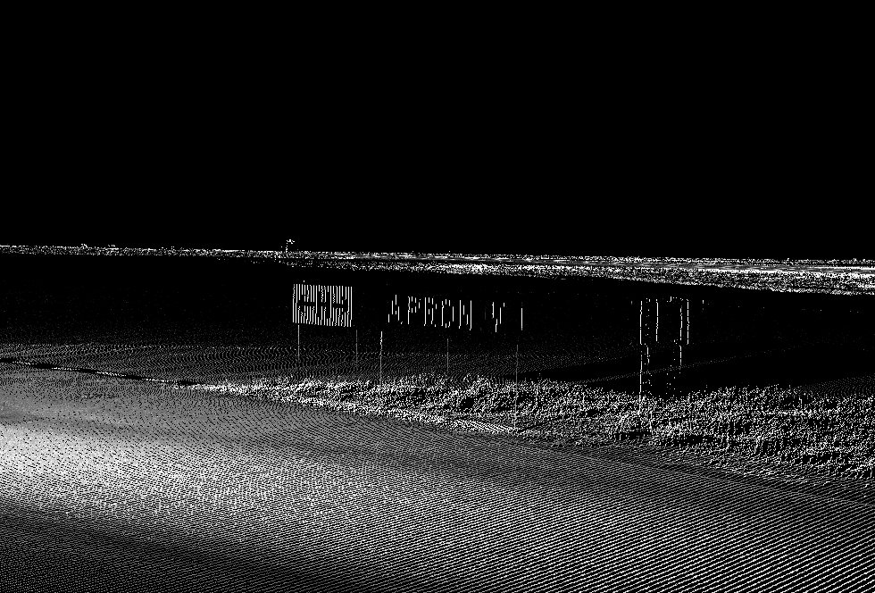
Mobile Mapping
To support infrastructure verification within the airfield environment, mobile mapping systems can
rapidly survey runways, taxiways, lighting, and navigational aids far faster than conventional RTK or
total station methods while
collecting significantly denser
spatial data.
This approach allows critical
airport infrastructure to be documented efficiently while maintaining the level of accuracy required for compliance and engineering workflows.

Runway Centerline & Edge Markings
Lighting
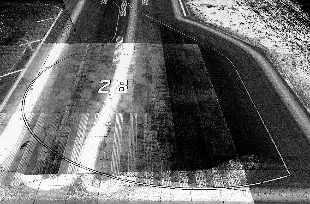
Runway Markings
Signage

FAQ
Welcome to FAQs
Please select a frequently asked question from the menu below.
How does RPM guarantee its data accuracy?
RPM ensures accuracy by combining mobile mapping with verified survey control. The extremely dense LiDAR data often captures our ground survey equipment directly in the scan, allowing us to validate the dataset against known control points. In many cases, the system also captures equipment placed on provincial survey monuments, providing multiple alignment references. This process allows RPM to confirm positional accuracy and deliver reliable, compliance-ready data while surveying much faster and with no disruption to airport operations.
Will data collection disrupt airport operations?
RPM uses advanced aerial and Mobile Mapping technology to collect data quickly and safely with minimal disruption to airport operations. Surveys can often be scheduled overnight or during periods of low activity, and mobile mapping does not require the placement of survey equipment along active runways, taxiways and aprons. This combined flexibility allows RPM to coordinate closely with airport staff and work around flight schedules to complete airside data collection in as little as one to two days.
What kinds of airport compliance work does RPM support?
RPM supports airport compliance with protected airspace mapping for OLS assessments, navigational aid positioning, and survey-grade runway/airfield linework—aligned with Transport Canada, NAV Canada, and ICAO requirements.
Does RPM support mapping of airfield lighting, signage, and navigational aids?
Yes. RPM captures accurate spatial data for airfield lighting, signage, and navigational aids, allowing airport teams to work from reliable location-based information for compliance, planning, and infrastructure management.
Can RPM assist with pavement and drainage reviews?
Yes. RPM collects ultra-dense, high-resolution spatial data that supports pavement condition indexing and provides drainage context, helping airport teams and engineers assess infrastructure conditions more effectively.
What airfield assets and features can you capture and verify?
Mobile mapping can rapidly capture highly accurate data on runways, taxiways, lighting, signage, navigational aids and linework / markings which support infrastructure verification, upgrades, and compliance deliverables with dense spatial detail.
If we utilize RPM’s Mobile Mapping services, can the acquired data be used for multiple applications?
Yes. Once airfield mobile mapping data is collected, it can support a wide range of applications beyond the initial survey. The dataset can be used for runway and taxiway surface reviews, drainage context mapping, pavement planning, and other infrastructure assessments. It can also support airport compliance requirements, GIS asset inventories, and future planning initiatives, allowing teams to extract additional value from a single data collection effort.